Gaia GPS: Offline Trail Maps
Outside, Inc.
Downloads
1,000,000+
Version
Latest
Advertisement
Click to download now, finish the installation quickly, and directly unlock the "all-round experience"
Advertisement
Screenshots

Click to download now, finish the installation quickly, and directly unlock the "all-round experience"
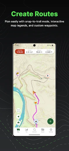
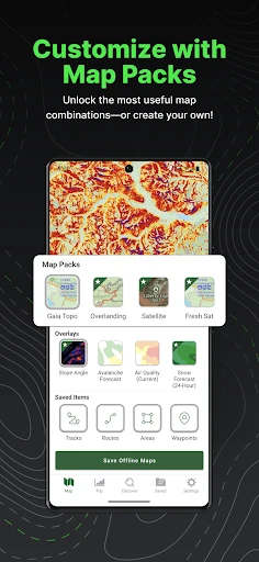
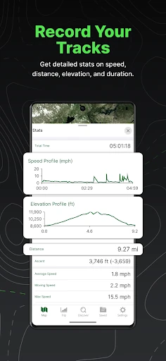
Gaia GPS: Offline Trail Maps stands as the definitive benchmark for backcountry navigation within the Maps & Navigation category. While many competitors focus on urban routing, Gaia GPS is engineered for the wilderness, providing a robust platform for hikers, overlanders, and winter sports enthusiasts. It acts as a professional-grade tool that transforms a smartphone into a high-fidelity GPS receiver, offering a level of detail and reliability that is essential for safety and exploration beyond the reach of cellular networks.
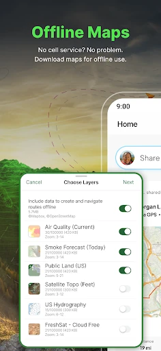
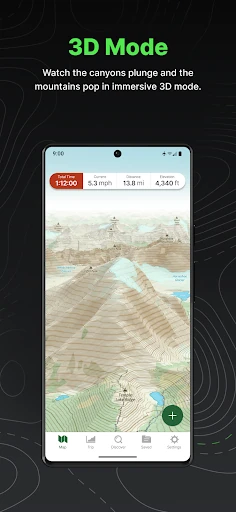
The interface of Gaia GPS is designed with a "utility-first" philosophy. In the context of Maps & Navigation, the UI prioritizes data density and map visibility over minimalist aesthetics. The layered map management system is intuitive for power users, allowing for quick toggling between satellite, topo, and safety overlays. While the depth of features creates a steeper learning curve than consumer-level maps, the UX is logically structured around the lifecycle of a trip: plan at home, navigate in the field, and track progress in real-time.
To further refine the experience, the developers should focus on simplifying the initial onboarding process, particularly regarding the Outside+ subscription tiers. Improving the global search functionality to better recognize remote trailheads and local landmarks within offline datasets would also be a significant upgrade. Lastly, a "Simplified Mode" for casual users could help bridge the gap between amateur explorers and professional guides.
Gaia GPS: Offline Trail Maps is the premier choice for serious outdoor adventurers, including backpackers, off-roaders, and backcountry skiers. It is not merely a map; it is a comprehensive planning and safety ecosystem. We recommend this app for anyone whose activities take them off the grid, though casual walkers may find the professional-grade toolset more complex than they require. For the dedicated explorer, it is an indispensable piece of digital gear.